Where we shoot
Los Haitises National Park
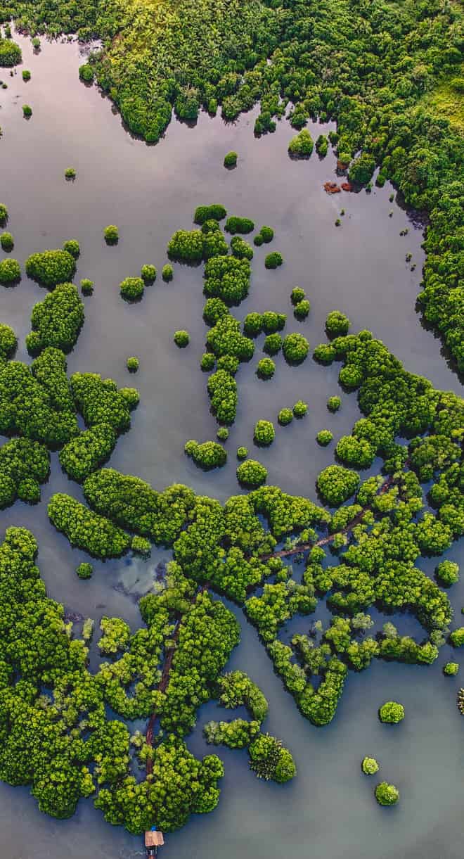
Drowned karst islets, mangroves and Taíno cave petroglyphs

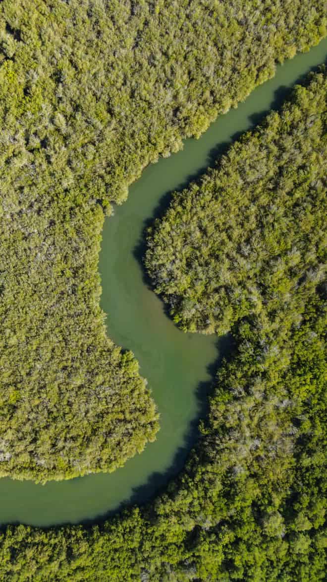
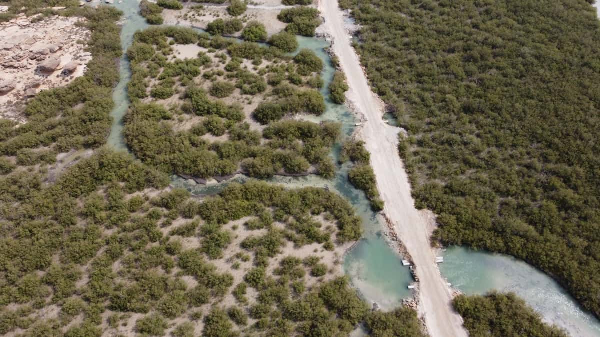
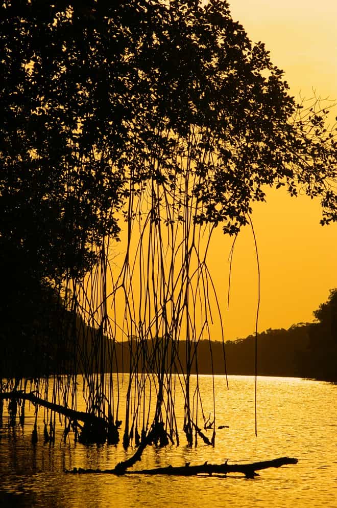
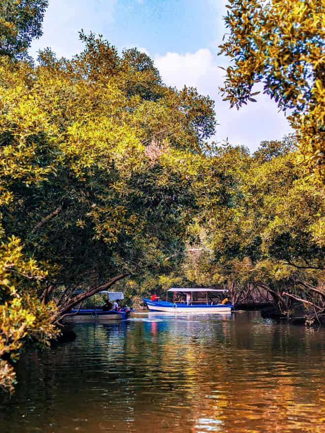
Los Haitises is a flooded karst wonderland on the southern shore of Samaná Bay, where dome-shaped limestone hills rise straight from the water like a green flotilla, threaded by one of the Caribbean's largest mangrove forests. A national park and UNESCO-recognised reserve, it's explored by boat — gliding between the islets, ducking into sea caves where ancient Taíno petroglyphs and pictographs survive on the rock, and drifting past colonies of pelicans and frigatebirds. It's a cornerstone of the 3-in-1 day trips out of Punta Cana and one of the country's most dramatic natural landscapes. Our photographers ride the boat with you, capturing the mogote-studded bay, the cave mouths and the birdlife, with calmer water and clearer skies in the December-to-April dry season.
What we capture here
- Dome-shaped karst islets rising from the bay
- One of the Caribbean's largest mangrove forests
- Ancient Taíno petroglyphs inside sea caves
- Pelicans, frigatebirds and rich birdlife
Moments from Los Haitises

Related photography guide
Los Haitises National Park: A Complete Tour GuideDreaming of your own private photo excursion?
A surprise proposal, a family session at sunrise, a private tour with your own photographer — tell us what you imagine and we'll make it happen.
- Any beach, cenote or landmark
- Your date and time
- Your own pro photographer
Free to ask · we reply within hours
Find your photos in seconds
Enter the code from your bracelet, QR card or receipt — your gallery opens instantly.
Your code is on your bracelet, QR card or receipt.
- Instant access
- 100% private & secure
Stay in the loop
Get new destinations & photo deals
One short email a month: new excursions, seasonal photo deals, and tips for the best shots. No spam — leave anytime.
- No spam
- Unsubscribe anytime
- ~1 email a month
Join thousands of travelers reliving their Punta Cana memories.